Mornington Peninsula Travel Information
Welcome to the Mornington Peninsula!
Us locals, and those who travel here often, also lovingly refer to this stunning part of the world as The Ninch or Morn Pen, hence the name of this website.
The coastline here is approximately 193km (120 miles) long and wraps itself around a narrow stretch of land giving the Mornington Peninsula an area of 722 sq km (448.6 sq m). That’s huge, well in my humble opinion it is. You’ve got a lot of exploring to do here my friends!
Where is Mornington Peninsula?
Mornington Peninsula is located in the state of Victoria, on the most south eastern coast of Australia’s mainland.
It is 72km (44.7m) south east of Victoria’s capital city, Melbourne. That’s about a 1 – 1.5hr drive away from Melbourne’s city centre, depending on traffic.
Many consider the Melbourne suburb of Frankston to be the Peninsula’s Gateway city, and I like this train of thought too. For as you climb up Frankston’s Olivers Hill, along the coast, you start to leave behind the hustle and bustle of suburbia, and make your way into quieter seaside life.
Map of Mornington Peninsula
The Shire of Mornington officially begins in Mt Eliza, one of Mornington Peninsula’s more exclusive towns (think I drive a BMW and wear designer clothes kind of town).
From here, an imaginary line can then be drawn across in an eastern direction, through the inland towns of Somerville and Pearcedale, all the way to the opposite coast of Westsern Port Bay. From there on South, you’re in Mornington Peninsula baby!
On the above map of Mornington Peninsula, you can use the + and – in the bottom left to zoom in or out. Click on the image and drag to move around. Or click on the top right white box, to open a larger view on a new page.
IS MORNINGTON PENINSULA REGIONAL OR METRO?
Given the Mornington Peninsula’s diverse beauty and its “country-seaside-out-of-town-vibe”, you’d be forgiven for thinking that you’ve escaped to regional Victoria when you arrive.
Surprisingly, this is not the case. The Mornington Peninsula is actually still geographically zoned as part of metropolitan Melbourne and is known as The Shire of Mornington Peninsula.
MORNINGTON PENINSULA SUBURBS/TOWNS
There are over 20 suburbs/towns considered to be part of The Shire of Mornington Peninsula. I like to group these towns into three areas: Bayside, Inland and the “Wild Side” (aka ocean side).
Bayside Towns
- Mount Eliza
- Mornington
- Mount Martha
- Safety Beach
- Dromana
- McCrae
- Rosebud
- Capel Sound
- Tootgarook
- Rye
- Blairgowire
- Sorrento
- Portsea
Ocean Side Towns
- Fingal
- Cape Schanck
- Flinders
- St Andrews Beach
- Shorham
- Balnarring
- Somers
- Crib Point
- Hastings
Inland Towns
- Somerville
- Tyabb
- Moorooduc
- Tuerong
- Merricks
- Red Hill
- Main Ridge
ULTIMATE GUIDE – HOW TO GET TO, & AROUND, THE MORNINGTON PENINSULA
Car, bus, train or boat? What is the best way to get to the Mornington Peninsula and to get around while here?
The attractions here are spread far and wide, which is why I’ve prepared your Ultimate Guide to Travelling to and Around the Mornington Peninsula.
WHEN IS THE BEST TIME OF YEAR TO VISIT MORNINGTON PENINSULA?
Every season on the Mornington Peninsula has something unique and special to offer visitors. Given the peninsula’s array of beaches, wineries, hot springs, restaurants and entertainment, each season sprinkles these things with its own personal charm.
But which season would I personally recommend you visit? Read more to find out…
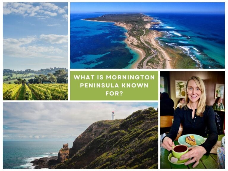
WHAT IS MORNINGTON PENINSULA KNOWN FOR?
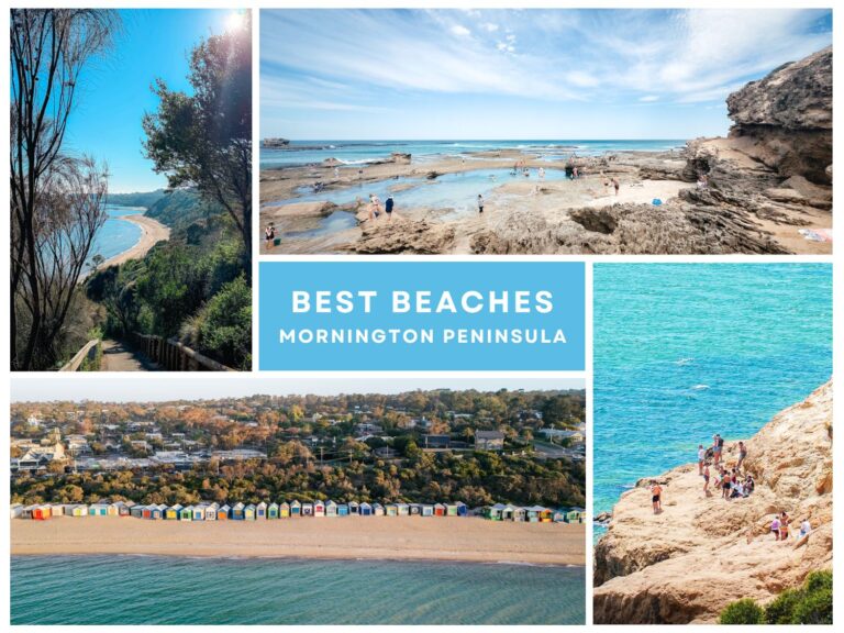
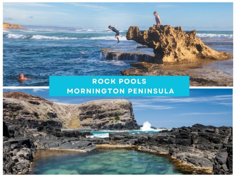
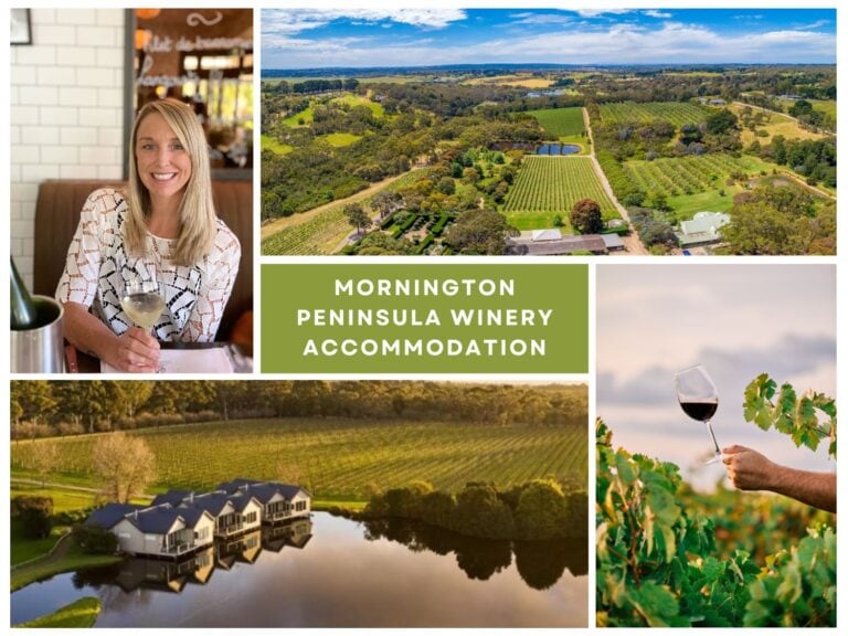
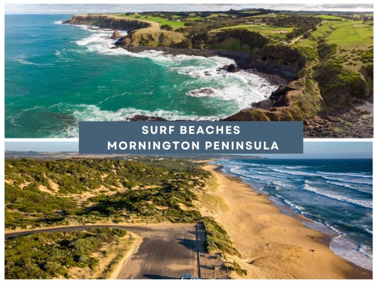
Pristine beaches, wineries, hot springs, national parks, hiking trails, gourmet food, live music, horse racing, bustling markets, rock pools, historic forts, swimming with dolphins…
I think you get the gist!
But let me give you more detail. Read all about the amazing things Mornington Peninsula is known for here...